Citra satelit NASA tunjukkan luasnya polusi karbon monoksida akibat karhutla sejak Agustus
NASA satellite imagery shows carbon monoxide pollution across Southeast Asia from Indonesian forest fires between August 1 and October 21. Video: CNA.
Start your morning with Shine
Get the daily brief on TelegramNASA satellite imagery shows carbon monoxide pollution across Southeast Asia from Indonesian forest fires between August 1 and October 21. Video: CNA.
 YouTubeSustainabilityTuvalu's struggle to remain a nation
 YouTubeSingaporeHow Singapore's horseback archers hone their skills
 YouTubeSustainabilityLexington Residents Challenge Data Centers
 YouTubeSingapore120-million-year-old dinosaur footprints discovered in Thailand
 YouTubeSingaporeWhich haze reading matters the most?
 YouTubeSingaporeThe Singapore connections to the Indonesian companies causing the haze
 YouTubeSingaporeWant to try the food of Singapore’s Orang Laut community?
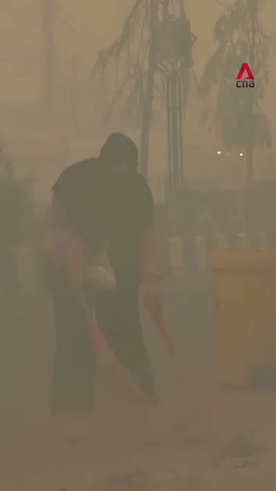 YouTubeSingaporeHaze chokes Central Kalimantan even as number of hotspots goes down
 YouTubeSingaporeiPhone Duo launches in Singapore
 YouTubeSingaporeHe performs stunts on stilts to keep this Chinese art alive